How to Read an Astrocartography Map
How to read an astrocartography map: how the lines are drawn, what each planet-angle pair means, how close to a line you need to be, and the setting that moves your lines.
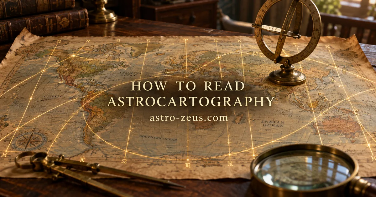
An astrocartography map takes the sky of the moment you were born and asks a simple question of every place on Earth: if you had been born here instead, which planet would have been rising, setting, culminating or at the lowest point of the sky? The answer is drawn as a set of curves across the world map. Each curve marks the places where one particular planet sat exactly on one of the four angles of the chart.
That is the whole idea. Everything else — which line matters, how close you have to be, why two maps of the same person can disagree — follows from how those curves are built. This guide walks through it in the order you actually need it.
1. What the map is, and what it is not
Your birth chart describes one moment of time as seen from one point on the Earth’s surface. Change the point, keep the moment, and the planets stay exactly where they are in the zodiac — but the frame rotates. The Ascendant changes sign. The Midheaven moves. Planets that sat quietly in the second house from your birthplace stand on the horizon somewhere else.
An astrocartography map is a way of seeing that rotation all at once. Instead of recalculating the chart city by city, it draws the places where each planet lands precisely on an angle.
Two consequences follow, and both are routinely misunderstood.
The map does not depend on where you were born. It depends only on when. Two people born at the same instant in Buenos Aires and in Oslo have identical astrocartography maps. What differs is where each of them happens to be standing on it. Your birthplace is a dot on the map, not the source of the map.
The lines are not places where something is guaranteed to happen. They mark where a particular planet is structurally emphasised. A strongly placed planet becomes louder; a difficult one becomes harder to ignore. The map redistributes emphasis. It does not add anything to the chart that was not already there.
2. How the lines are drawn
There are four families of lines, and they look different because they are different kinds of curve.
MC and IC lines are straight and vertical. A planet culminates — reaches the Midheaven — for every observer on the same meridian at that instant. A meridian is a line of constant longitude, so on most world map projections an MC line is a straight vertical line from pole to pole. Directly opposite it, half a world away, runs the IC line for the same planet: where the planet is at the lowest point beneath the horizon.
ASC and DSC lines are curves. A planet rises on the eastern horizon at a whole family of latitudes and longitudes that trace a long S-shaped curve. Its mirror, the DSC line, marks where the same planet is setting in the west. The shape of these curves depends on the planet’s declination — how far north or south of the celestial equator it stands — which is why the rising line of a high-declination planet can loop dramatically toward the poles while the rising line of a planet near the equator stays comparatively straight.
A planet that is very far north or south may not rise or set at all at extreme latitudes. Where that happens, the ASC and DSC curves simply stop. This is not a bug in your software; it is the same reason the midnight sun exists.
So: four lines per planet, ten planets, forty curves — plus whatever additional bodies your program draws. That is a crowded map, which is why the reading order below matters.
3. Reading the map, step by step
Step 1. Find the lines nearest to the places you care about
Do not start by hunting for the “best” line in the world. Start with the places that are actually on your table: where you live, where you are thinking of moving, where you have already lived and remember clearly. The past is the most useful part of the map, because you can check it.
Look at the two or three lines closest to each of those places, and ignore the rest for now.
Step 2. Read the pair, not the planet
Every line is a pair: a planet and an angle. The planet says what kind of energy is amplified; the angle says which department of life it lands in. Reading only the planet — “I have a Venus line there” — throws away half the information. A Venus MC line and a Venus IC line describe different lives.
The four angles, in short:
- MC (Midheaven) — the public dimension. Career, reputation, visibility, what people know you for, the ambition you are willing to say out loud.
- IC (Imum Coeli) — the private dimension. Home, family, roots, the inner life, the feeling of being settled or unsettled.
- ASC (Ascendant) — the personal dimension. How you come across, your physical vitality and appearance, the version of yourself that shows up in the room.
- DSC (Descendant) — the relational dimension. Partners, close others, and also open opponents — everything you meet as a you rather than an I.
Step 3. Decide how close is close enough
This is the question every beginner asks and every practitioner answers differently.
A figure of about 700 miles — roughly 1,100 kilometres — circulates widely as the outer limit of a line’s influence. It is a generous number, and plenty of experienced astrocartographers consider it far too generous. In practice most working readings treat the first 100 to 150 miles (150 to 250 kilometres) as the zone where a line is unmistakable, with the effect thinning out steadily beyond that.
Rather than adopting a number on authority, test it against places you have lived. If a line 600 kilometres away described nothing you recognise, your working orb is narrower than 600 kilometres.
One practical warning: do not judge distance by eye. On a Mercator-style projection, a fixed number of kilometres occupies a very different amount of screen space in Norway than it does in Kenya. Use the measurement your program gives you rather than the width of your finger on the screen.
Step 4. Look at where lines cross
Two lines intersecting means two planets simultaneously on angles at that spot. Crossings concentrate the map: they are usually more eventful than either line alone, and they are the places worth flagging even when they are nowhere you had considered going.
There is a further layer beneath crossings, and it is the part most free maps leave out entirely — see section 6.
4. What the planets contribute
A one-line sketch of what each body emphasises. These are starting points for the pair, not verdicts.
| Planet | On an angle, it tends to amplify |
|---|---|
| Sun | Visibility, vitality, being seen as yourself; also exposure |
| Moon | Belonging, emotional weather, family, the sense of home or homesickness |
| Mercury | Talk, study, trade, movement, paperwork, restlessness |
| Venus | Ease, affection, beauty, money that arrives pleasantly; sometimes indulgence |
| Mars | Drive, competition, physical effort, conflict, accident-proneness |
| Jupiter | Expansion, opportunity, teachers and patrons; also overreach |
| Saturn | Structure, discipline, slow reward, isolation, weight of duty |
| Uranus | Disruption, independence, sudden change, feeling foreign |
| Neptune | Imagination, dissolution, spirituality, confusion, escapism |
| Pluto | Intensity, power dynamics, transformation you did not schedule |
The interesting reading is always in the combination. Saturn on the IC is not the same difficulty as Saturn on the DSC, and for a person whose natal Saturn is dignified and well aspected it may not be a difficulty at all.
5. The setting that quietly moves your lines
Here is something you will not find in most introductions, and it explains why two maps of the same birth data can disagree.
There are two ways to compute where a planet stands on an angle.
Zodiacal (β = 0). The planet is treated as if it sat exactly on the ecliptic, at its zodiacal longitude, with its latitude thrown away.
In mundo (with latitude β). The planet is used where it actually is in the sky, including its ecliptic latitude — how far above or below the ecliptic plane it stands.
For the Sun the two methods agree exactly, because the Sun’s geocentric latitude is zero by definition. For everything else they diverge, and the size of the divergence tracks how far the body wanders from the ecliptic:
- Pluto is the extreme case. Its orbit is inclined about 17°, so its ecliptic latitude can reach roughly 17° — and its lines can land in visibly different places depending on the method.
- The Moon reaches about 5° of latitude, Mercury about 7°.
- Venus, Mars, Jupiter, Saturn, Uranus and Neptune stay within a few degrees, so their lines shift less — but not by nothing.
Which is correct? The in mundo method answers the question the map claims to be answering: where was this planet actually on the horizon or the meridian? The zodiacal method answers a slightly different question about the ecliptic degree the planet occupies. Both have defenders. What is not defensible is not knowing which one you are looking at.
So when you open any astrocartography tool, it is worth checking two things: whether it tells you which method it uses, and whether it lets you switch. In ZEUS the setting is explicit — In mundo (with latitude β) or Zodiacal (β = 0) — and it defaults to in mundo. Switching it and watching the Pluto line move is the fastest way to understand why the question matters at all.
6. Beyond the lines
Lines are the first layer of locational astrology, not the whole of it. Three things sit underneath them, and a serious reading uses all three.
Parans. A paran is the case of two planets standing on angles at the same moment — not necessarily the same angle. Venus rising while Jupiter culminates is a paran; so is Mars setting while Saturn sits at the IC.
Why that produces a horizontal band rather than a point is worth spelling out, because it is the part that makes no intuitive sense at first. Take Jupiter culminating. A planet culminates when the local sidereal time equals its right ascension, so that condition pins down the moment in the day. Now ask whether Venus is rising at that same moment. Whether it is depends on the observer’s latitude and on nothing else: the geometry of the horizon changes with latitude, while longitude only decides what o’clock the pair happens. Latitude decides whether it happens at all.
So the answer comes out as a parallel of latitude, running right across the map. Two planets whose lines never come near each other can still be in paran along a band that crosses continents — which is why a place can feel distinctly like something while sitting far from every line drawn. And because these bands are horizontal while the lines are mostly vertical, parans touch a great many more locations than crossings do.
Aspect lines to the angles. The four standard lines mark exact conjunctions with the angles. But a planet can also square, trine or oppose the Midheaven or Ascendant of a location, and those lines are real. Adding them turns a sparse map into a dense one — which is precisely why they are usually hidden by default, and why they belong in a considered reading rather than a first glance.
The relocated chart. The map tells you which planets are emphasised. It does not tell you what the whole chart looks like from that place — which houses the other planets fall into, where the rulers go, what the new chart ruler is. For any place you are seriously considering, the map is the shortlist and the relocated chart is the interview.
In ZEUS, parans, aspect lines to the angles, cyclocartography and full interactive relocation are part of the desktop astrocartography module; the free online map draws the classical seven planets on the four angles, which is enough to see how the method works and to find the lines near you.
7. What the map cannot do
An honest guide has to include this section.
It is only as good as your birth time. An error in the birth time rotates the entire map. The Earth turns 15° of longitude an hour — 1° every four minutes — so a ten-minute error slides every line of every kind about 2.5° of longitude sideways.
For MC and IC lines that converts straight into ground distance, because a meridian runs due north–south and the shift is entirely across it: roughly 280 km at the equator, about 210 km at the latitude of New York or Madrid, about 140 km at the latitude of Oslo.
For ASC and DSC lines it does not convert so neatly. Those curves run obliquely, and their slope changes along their length — close to north–south in some stretches, close to east–west in others. Sliding a curve sideways moves it fully away from you where it runs north–south and barely at all where it runs east–west, so the same ten-minute error means a different amount of uncertainty depending on where along the curve you happen to be standing. The shape itself is set by the planet’s declination — which for the planets follows from the tilt of the ecliptic — so a body far from the celestial equator draws a far more contorted rising line than one close to it. And near the latitudes where a planet stops rising and setting altogether, the curve becomes genuinely ill-behaved: small changes in the input move it a long way.
If your birth time came from family memory rather than a document, treat every line position as approximate, and treat “I am 90 km from my Jupiter MC” as a statement with nothing behind it.
It does not override the chart. Moving to a Jupiter line does not install Jupiter’s blessings in a chart that does not have them. Relocation changes emphasis and framing; it does not rewrite the natal material. A difficult Saturn placed prominently is still that Saturn, now with a spotlight on it.
It does not decide anything for you. Language, visa status, money, climate, family, work — all of these outrank a line, and none of them appear on the map. Astrocartography is at its most useful for choosing between options that are already realistic, and at its least useful for generating options out of nothing.
Short visits and permanent moves are different. A line you would not want to live on can be a fine place to spend a week doing exactly the thing that planet is good at. The map does not distinguish duration; you have to.
8. Getting your own map
Work through it in this order and the map stops being a coloured tangle:
- Confirm your birth time and be honest about how reliable it is.
- Plot the map and find the lines nearest to the places you have already lived.
- Read those as planet-and-angle pairs, and check them against what you remember.
- Calibrate your own working orb from that comparison.
- Only then look at the places you are considering.
- For any serious candidate, cast the relocated chart as well.
Steps 1 to 5 need nothing but a map. You can draw one now with ZEUS Online — free, no registration, with the in mundo and zodiacal methods both in the settings — and the meanings of the individual lines are collected separately, planet by planet.
Step 6 is where a line map runs out. Relocated charts, parans, aspect lines to the angles and cyclocartography are not extras bolted onto the method; they answer the questions a map of lines is not shaped to answer. If your reading gets that far, that is what ZEUS does.